
Give the site another dimension.
Explore mapped imagery and 3D views for planning, site communication, or material tracking. Start with the decision you need to make, then define the capture and processing requirements.
 Discuss this service
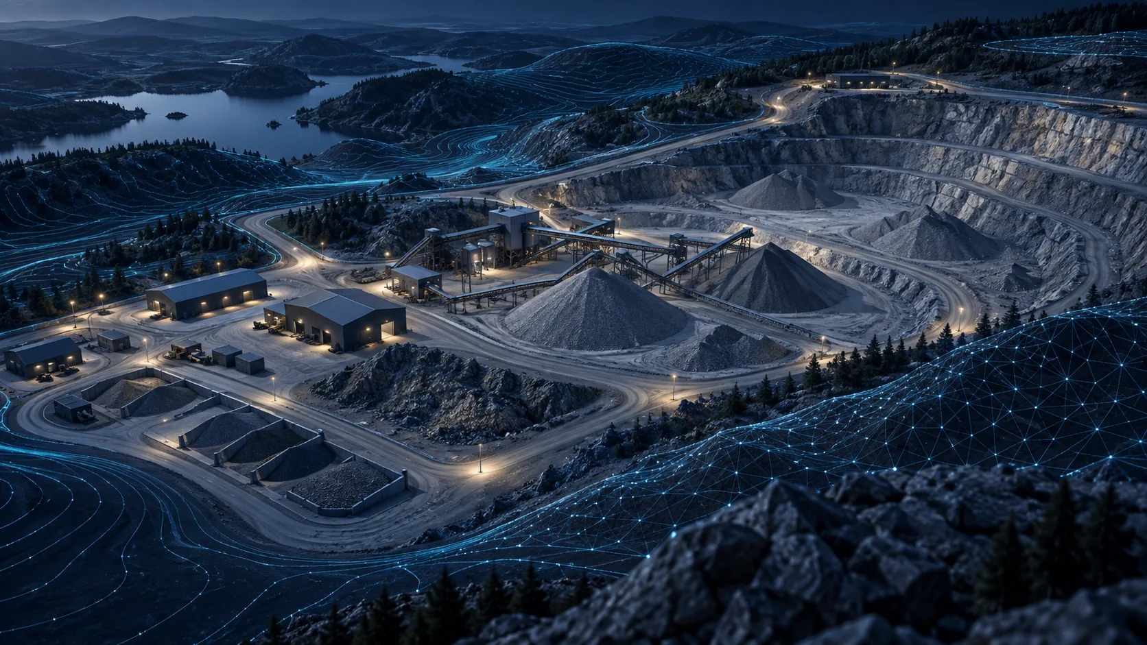
About these illustrations
AI-generated service concepts illustrate possible applications. They are not photographs of completed GK Drones projects.
Build the right deliverable.
For contractors, developers, site managers, and specialist project teams.
Mapped site imagery
Scope an orthomosaic and suitable exports around the site, intended use, and agreed accuracy requirements.
3D site models
Discuss photogrammetry outputs and a viewing or export format that works for your project team.
Stockpile and volume work
Define base surfaces, control, tolerances, and reporting expectations before measurement work is quoted.
Start with a useful brief.
Send a site outline, approximate area, intended use, required accuracy, coordinate system, and output format if known. Equipment, control, processing, and any survey professional involvement must be confirmed before committing.
Request a project quoteA few useful answers.
Clear scope before a confirmed flight.
Connected possibilities.
Explore another part of the project.
Construction Progress Monitoring
Recurring construction aerial photography, milestone footage, and visual progress records for New Jersey project teams.
Learn more →Roof & Building Documentation
Aerial roof and building photography for New Jersey contractors and property teams, with specialist interpretation scoped separately.
Learn more →