
See progress. Keep the record.
Turn a changing site into a clear visual timeline. Plan repeat aerial visits around milestones, reporting dates, and the decisions your project team needs to make.
 Discuss this service
About these illustrations
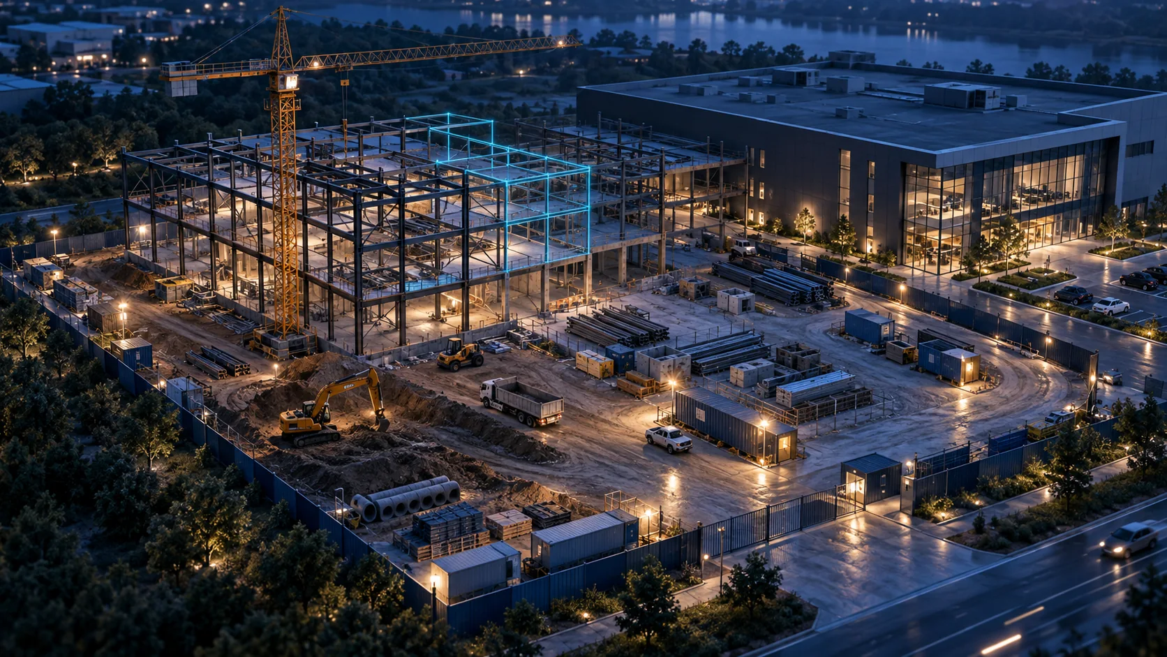
AI-generated service concepts illustrate possible applications. They are not photographs of completed GK Drones projects.
Build the right deliverable.
For general contractors, developers, owners, and project managers.
Repeat viewpoints
Agree a capture plan that revisits useful angles, subject to changing site access and conditions.
Dated progress records
Organize photo selections and aerial clips by visit so stakeholders can review what changed.
Milestone and reporting sets
Scope presentation-ready image selections, annotated views, and sequences for project updates.
Start with a useful brief.
Send the site address, project phase, visit frequency, reporting audience, and required milestones. Include site induction requirements and the person coordinating access. Agree file organization and retention at the outset.
Request a project quoteA few useful answers.
Clear scope before a confirmed flight.
Connected possibilities.
Explore another part of the project.
Aerial Mapping & 3D Modeling
Discuss New Jersey aerial mapping, photogrammetry, 3D modeling, and stockpile measurement projects with GK Drones.
Learn more →Multi-Property Programs
Recurring and multi-site aerial photography programs for New Jersey property portfolios, facilities, and project teams.
Learn more →